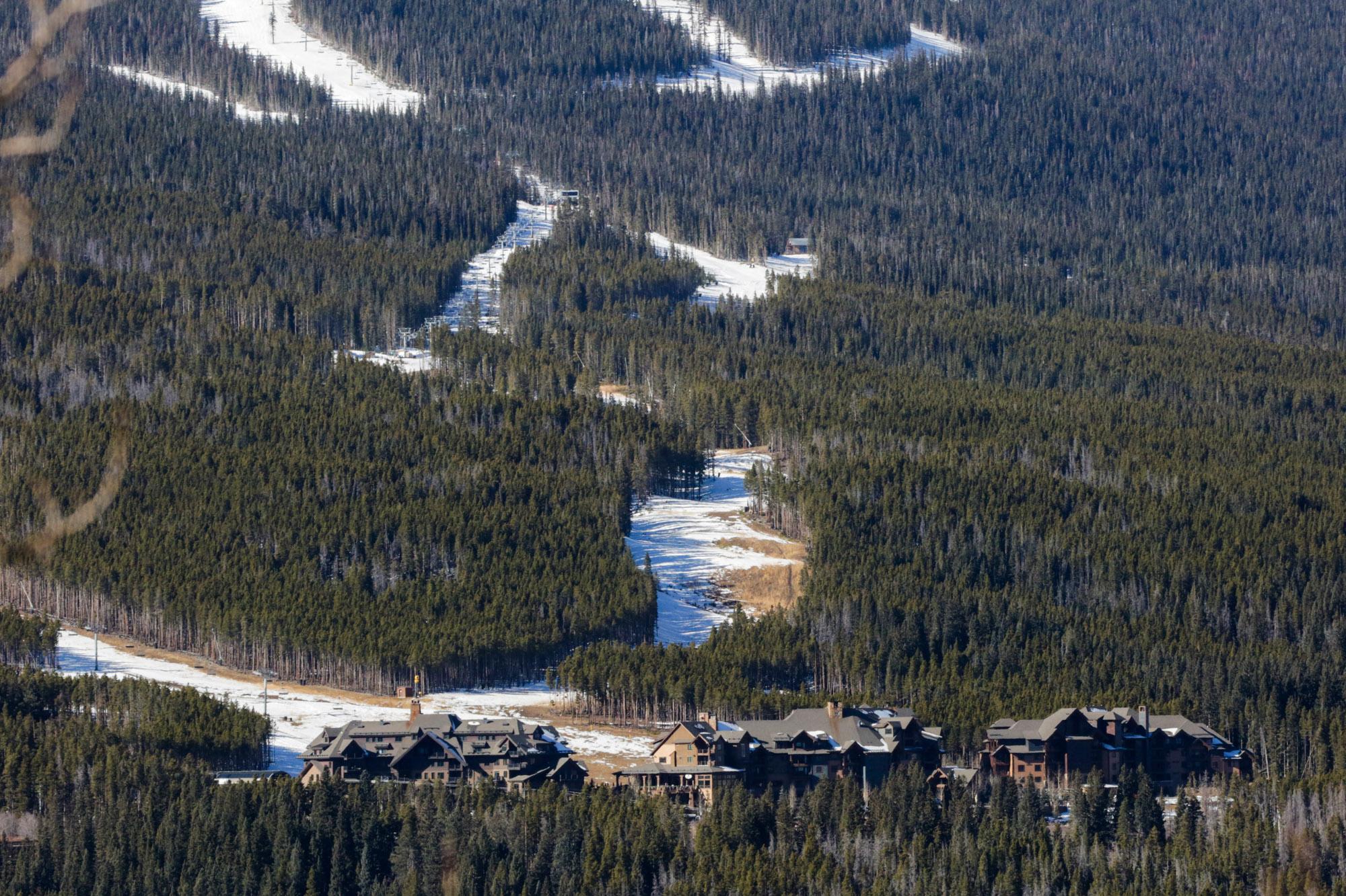
Last week, a blizzard warning was issued for the mountains — of Hawaii. But as the tropical state dealt with flooding and high winds, Colorado has been pretty bone-dry. Denver has set a modern-day record and gone nearly 230 days without any measurable accumulation. Fortunately, it seems like that record’s days are numbered with a winter storm expected later this week.
After nearly two weeks of mostly dry conditions, snow fell in the high country last night. And everyone, from skiers to water managers, wonders what the rest of winter might bring in Colorado.
What is snowpack and how’s it looking so far?
Quick primer: Snowpack isn't the same as the amount of snow that falls. Instead, think of it as layers of snow that accumulate in mountain areas. And that impacts everything from soil to wildfires throughout the rest of the year. More on that later.
For now, Colorado has about half the snow that usually accumulates in the mountains during a typical year. But Joel Gratz, founding meteorologist of OpenSnow, says it’s far too early to panic.
"Starting out a year below average — and even well below average — is not unheard of,” he said. “Maybe about a third of the time in the last 20 years we've seen something like this. So it's not time to sound the alarm just yet, but it's not a great start.”
Of those seasons that started similarly, some went on to catch up, but others didn’t. We’ll just have to wait and see.
Much of the Mountain West looks the same right now, and it’s too soon to know what the broader implications are. “At this point, we don't know if this slow start is indicative of any long term-trend,” Gratz said. “Based on past data, it doesn't seem like it is.”
What do we know about the potential for snow?
The reality is there’s no way to tell what’s in store for the rest of the season. Meteorologists aren’t able to forecast conditions month-to-month, however they do know we are experiencing a La Niña winter.
“That generally favors above-average snowfall for the northwest, from Idaho to British Columbia,” Gratz said. “But La Niña doesn't help or hurt us in Colorado much.”
That’s because we’re on the edge of that climate pattern. Big snowstorms along the Front Range — especially in the spring — are not common with La Niña. Gratz said those are more frequent during El Niño seasons.
But the state is also contending with the effects of climate change.
“While we will still get these winter storm patterns and we will still get snow and cold, we are just getting an increasing frequency of these warm anomalies as well,” assistant state climatologist Becky Bolinger told Colorado Matters.
The good news is there’s still plenty of time for Colorado to catch up. Our state usually sees its deepest snowpack in April.
Why does this matter for Colorado’s water supply?
This week’s snow will certainly help the state rebound from a dry spell and alleviate drought concerns. Another, stronger storm is on its way that will likely bring snow to the Denver area.
It could arrive in the mountains as early as Wednesday night, with 10 to 20 inches possible by the weekend in some areas — particularly further west and south (think: Telluride and maybe even areas like Crested Butte and Steamboat Springs).
“Overall, when you look at the 7-day period, they're looking to get about two to three inches of moisture,” Bolinger said.
And that moisture is what’s really critical.
“When we're talking about snowfall, we always refer to snowpack because snowpack tells us about the amount of water that's in the snow, and that's going to be super critical for our water supplies,” Bolinger said.
She basically looks at the snowpack like Colorado’s water savings account that builds up over the winter and pays out in the spring. “So the better that snowpack is, the more water there is in that snow, the more runoff and water supplies we will get.”
CPR’s Anthony Cotton and Joe Wertz contributed to this report.


