Multiple severe weather warnings are in effect across most of the state on Monday, and experts say they expect these warnings to continue throughout the week.
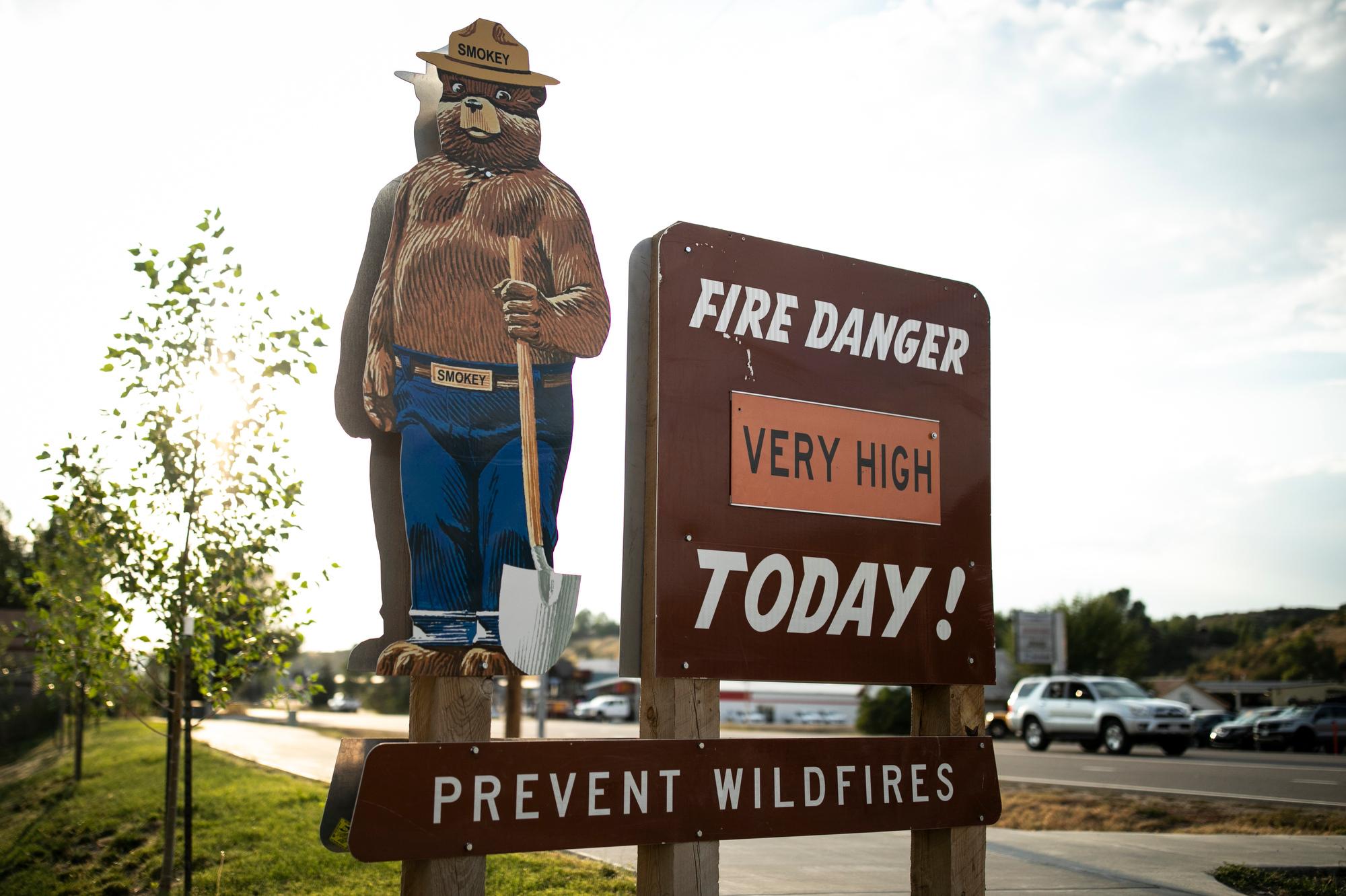
Most of eastern Colorado — from Fort Collins to Castle Rock and extending further east — is under a high wind advisory today, with gusts expected to reach up to 70 mph making favorable conditions for rapid fire spread.
Because of the gusty winds and the dry conditions, the National Weather Service in Boulder has warned people in Denver and Boulder about critically dangerous wildfire conditions, exactly three years after the Marshall Fire.
“Obviously it’s an anxious feeling when we start getting these high wind warnings, these red flag warnings, especially on the anniversary of a really significant fire day here in the front range,” Zach Hiris, a meteorologist with the National Weather Service, told CPR News.
Still, the wildfire conditions today are different and less dangerous than they were three years ago when the Marshall fire ignited, Hiris said.
Winds are expected to be weaker today: 50-70 mph, not more than 100 mph like they were before the 2021 fire sparked in Boulder County. It’s also forecasted to be significantly cooler today, which will reduce the likelihood of another fast-moving blaze like the Marshall fire, which burned more than 9 square miles and is considered the most destructive in state history.
Hiris still recommends residents along the Front Range come up with a fire evacuation plan “just in case anything happens.”
According to a spokesperson from Xcel Energy, the utility does not expect it will need to preemptively shut off power in areas to reduce the chances power lines or other equipment spark fires.
In Western Colorado, the mountains are set to receive fresh snow, building on the accumulation from a series of storms that started at Christmas, which will add to “a fairly significant load to a very fragile snowpack,” said Brian Lazar, the deputy director of Colorado Avalanche Information Center.
Lazar said the increased snowfall combined with winds that could blow snow onto “slopes that are already near their breaking points,” puts much of the western slope under a severe avalanche warning.
Currently, the avalanche warnings cover most of the northern mountains — from the Park Range, near Steamboat, through Summit County and the Gore Range, to portions of the Western Elk Mountains.
While the avalanche warnings are set to run their course until the end of the day today, according to Lazar, dangerous avalanche conditions are going to last through the New Year's holiday.
“Just because we're out of the warning period does not mean the conditions automatically flip to safe,” said Lazar. “It's going to be dangerous through the holiday period, so people need to use very conservative terrain choices in order to stay safe.”
The Colorado Department of Transportation has also been taking precautionary measures to ensure roadways stay clear. Spokesperson Austyn Dineen said the agency temporarily shut down Berthoud Pass this morning while they proactively triggered avalanches in response to the avalanche warnings around the state.
The transit authority also triggered a small avalanche on the west side of the Eisenhower Johnson Tunnels, but Interstate 70 remained open to traffic. According to data from the Colorado Avalanche Information Center, there have been no injuries or deaths so far this season.

