Updated on Friday, Jan. 3, 2025, at 6:44 p.m.
Highway 96 reopened Friday afternoon.
The original story and update are below.
Thurs. Jan. 2, 2025, 9:45 a.m. update
Crews began work to remove rock and debris from the rockslide area on December 31, according to the Colorado Department of Transportation. Colorado Highway 165 northbound and southbound re-opened late that same afternoon allowing traffic to travel west on Highway 96 to Westcliffe. Colorado Highway 96 between Westcliffe and Wetmore remains closed to through traffic.
Original Story: Mon. Dec. 30, 2024, 4:50 p.m.
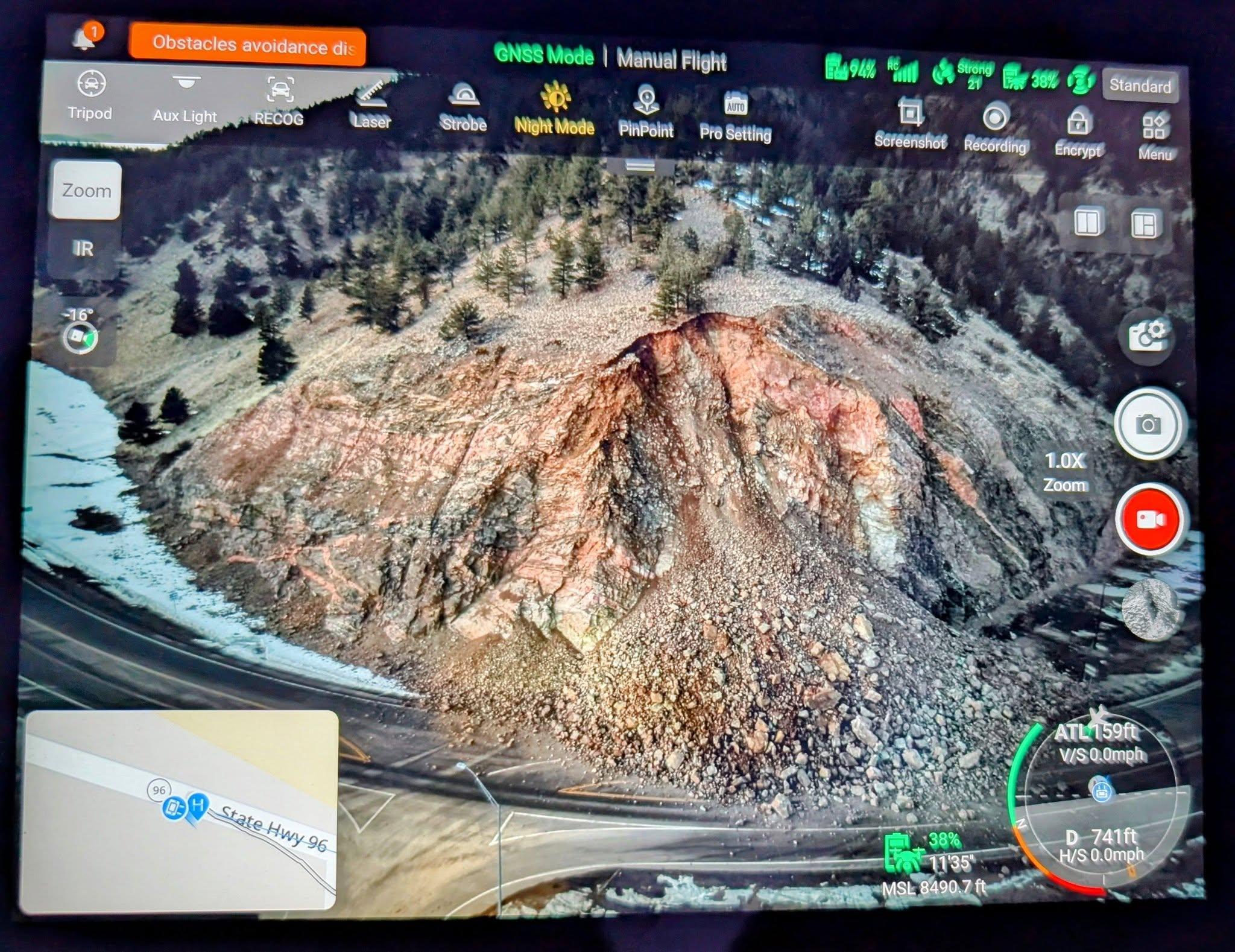
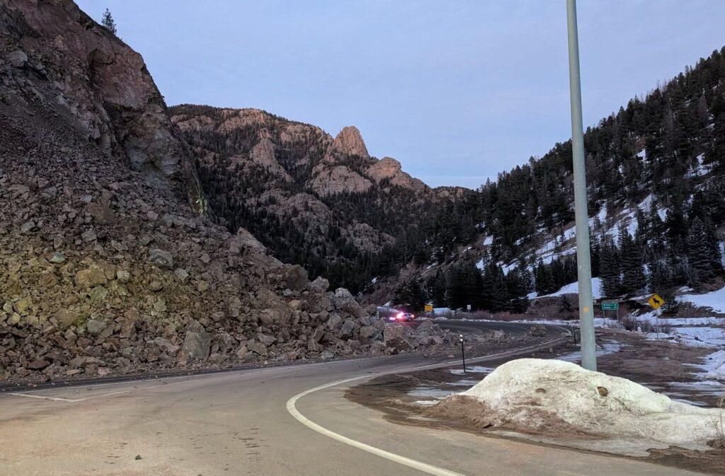
Tons of rock and soil roared across Colorado Highway 96 west of Pueblo Sunday afternoon as the hillside above the intersection with Colorado Highway 165 gave way. The location is in the Mackenzie Junction area of the Wet Mountains.
Rocks are still actively falling and the area is unsafe, according to a press release issued Sunday evening by The Colorado Department of Transportation.
The agency has closed both roads until geologists can inspect and assess the stability of the terrain. CDOT expects a multi-day closure before crews will be able to enter the slide zone and begin to clean up.
Jay Temple, a geologist with the Colorado Geological Survey who’s been working on another project in the area, spoke with Custer County officials in a recorded briefing.
“What has happened here is that we are on a major fault zone,” he said.
There are fractures associated with the fault and movement occurring on different planes with water accumulating from snow melt, Temple said.
“Eventually it gets to the point where, especially because of the slope here, it is then going to gravitationally adjust itself,” he said, noting that the water also lowers the friction in the rock fractures.
This rockslide occurred on the inactive Ilse Fault Line, which starts near Guffey in Park County and continues through Custer County according to Temple.
“Eventually at some point it will come down again,” he said because the slope is still unstable and the rock slope is so steep.
He said CDOT engineers and crews with specialized experience will likely do mitigation with dynamite to lower the slope to get the rock down to a lower plane and move it further back from the road.

Highway 96 is closed at the junction of 96 and 67 in Wetmore all the way to Westcliffe (Mile Point 26.2 to .01).
Meanwhile, CO Highway 165 is closed just northwest of Rye at Mile Point 28.
Local traffic will be allowed through closure points to access properties on either side of the rockslide area, CDOT also provided these alternate routes.
Western CO 96 Route:
- North on CO 67 to US Highway 50
- West on US 50 to CO 69
- South on CO 69 to Westcliffe
Eastern CO 96 Route:
- North on CO 69 to US 50
- East on US 50 to CO 67
- South on CO 67 to Wetmore
CO 165 Route:
- South on CO 165 to Interstate 25
- North on I-25 to CO 96
- West on CO 96 to Wetmore
The Custer County Sheriff’s office provided this alternate route information:
- Canon City to Westcliffe via Oak Creek Grade (CR 255) or
- Canon City to Westcliffe via Copper Gulch (CR 215) or
- Texas Creek to Westcliffe via Highway 69.


