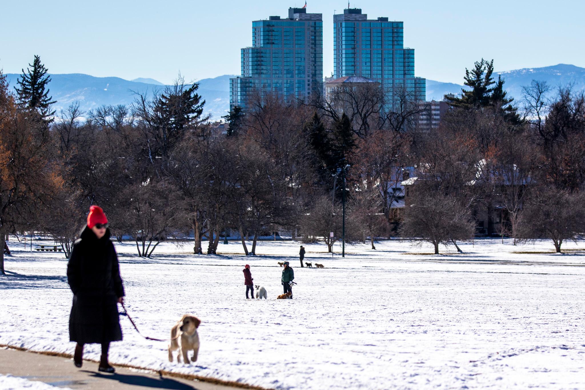
The Palmer Divide was hit hard by snow Thursday, and accumulation will return on Saturday after a one-day break.
The National Weather Service has issued Winter Weather Advisories along the divide — a ridge that runs east from the Front Range between Colorado Springs and Denver and extends to Limon and the Eastern Plains. The NWS office in Boulder issued the advisory in effect until 5 p.m. Thursday. Snow is expected to fall on higher terrain until later this afternoon, with winds gusting up to 45 mph.
Interstate 70 is closed from Limon east to Burlington and the Colorado Department of Transportation has flagged most major highways and roads in southern central Colorado as icy with snow accumulation.
As of 1 p.m. Thursday, more than 50 flights out of Denver International Airport had been canceled and 434 flights were delayed, according to FlightAware.
Skies will start to clear Thursday evening with partly cloudy skies. NWS Boulder meteorologist Ayesha Wilkinson said Friday will remain pretty dry, but expect the snow to pick up again early Saturday morning mainly in the mountains.
“It looks like totals are 2 to 4 up there right now. But, it looks like by late morning, Saturday afternoon there could be some light snow showers into the I-25 corridor and then ending quickly by the afternoon hour. So, it comes in pretty quick,” Wilkinson said.
Those traveling on I-70 or Rabbit Ears Pass to Steamboat Springs will likely see 2 to 5 inches of snow on Saturday.
The Winter Weather Advisory issued by the NWS office in Pueblo is in effect until 9 p.m. Most of the snow along the Palmer Divide has fallen in northern El Paso County but is expected to lighten up toward the Ratone Mesa near Walsenburg. Winds are expected to gust up to 50 mph.
NWS Pueblo meteorologist Cameron Simcoe said the Colorado Springs area will get light snow, but has had winds up to 60 mph.
“So while it's light, it is dropping visibility and causing some bad road conditions and blowing snow,” Simcoe said. “It's pretty light up in the Palmer Divide 2 to 4 (inches), 3 to 5 (inch) range, and then it drops pretty significantly after that because given that northerly wind as it comes off the Palmer Divide, it just dissipates really quickly.”
The Raton Mesa area and in the southeast, southern Sangre de Cristo Mountains are expected to see at least 2-3 inches up to 6-7 inches of snow. The forecast calls for dry conditions for Friday. Snow is also expected to pick up again in the region.


