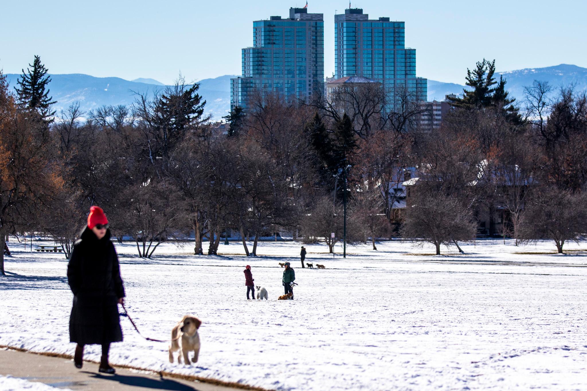
Most of the state woke up to a fresh blanket of snow Friday morning. While most of the Denver metro received anywhere from half an inch up to eight inches, according to Zach Hiris, a meteorologist with the National Weather Service, further west of Denver “there were a lot of reports of anywhere from 12 to as much as 21 inches of snow near the Evergreen area.”
But the snow probably won’t be around long.
Despite the recent snow storm, signs of spring are making their way to Colorado this weekend, bringing warmer temperatures and a break from the wintry weather.
According to Hiris, today will be the warmest day of the week so far, with highs in the upper 30s and possibly the low 40s in Denver. Looking ahead to the weekend, “it'll be the warmest weather we've seen and really since the start of the month,” with highs in the mid 50s on Saturday and creeping up to the 60s by Sunday.
“There might be just a little bit of a re-freeze tonight,” Hiris said. “We have a forecast of low temperatures overnight tonight — in the upper teens to low twenties — so maybe just a few icy spots here and there early Saturday morning, but with temperatures warming back up into the 50s and getting some sun up there, that'll certainly help get the snow melted and especially get the roads dried up pretty quickly.”
The warm, sunny weather is expected across the state — even in the mountains and high country — this weekend and into next week. According to Hiris, while a few clouds may pass through, snow is not in the forecast.
Though the warmer temperatures will bring a break from winter, they also highlight the condition of Colorado’s snowpack, which is currently below average for this time of year.
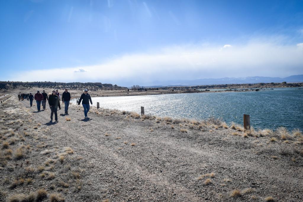
According to Aldis Strautins, the senior hydrologist with the National Weather Service, the snowpack is “looking better than it did a couple weeks ago,” but “we're still below normal down in the southwestern part of the state.”
“We would like some more snow down there for sure,” Strautins said, referring to the San Juan Basin in southwestern Colorado. “Sometimes it gets a little bit warmer and then another system comes in and boosts [the snowpack] up. We still have a few months left in the snow accumulation season — so March and even into April we will hopefully gain some snow.”
The February snowstorms, particularly the one that hit the state last weekend, brought some relief to the dry conditions in the Colorado River Basin. The San Juan Basin, which was at 50 percent of normal just 10 days ago, has since seen a 10 to 15 percent increase, bringing it to 65 percent of normal.
Strautins says that with a few more months of potential snowfall, there’s still hope for snowpack levels to improve before the end of the season.