Updated at 8:14 a.m. on Wednesday, May 28, 2025.
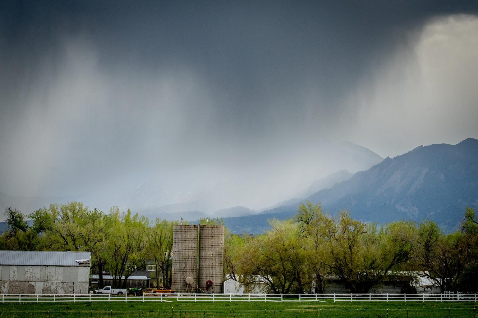
Rainfall over the weekend has helped metro Denver surpass its monthly rain average for May.
“After the storms, we're running at 3.23 inches for Denver reported since the beginning of the month and the average is about 2.16 or so,” said National Weather Service meteorologist Bruno Rodriguez.
The southern metro and Palmer Divide areas had the most precipitation in the metro region with totals falling between 2 and 3 inches. “We did have a few 3 to 4 inch reports out there in far western Elbert County near Elizabeth and Parker,” Rodriguez said.
May is the rainiest month on average in the Denver metro area and the storms will continue into early June.
“We're looking at daily chances for some afternoon showers and thunderstorms for pretty much all areas each day,” Rodriguez said. “Chances tick up a little bit, late this weekend and into early next week with potential for more widespread precipitation, but otherwise just your typical kind of early summer, late spring afternoon showers and thunderstorms.”
Temperatures will hold in the 70s until Thursday before warming into the upper 80s over the weekend.
The weather has proven tricky for travel as well. Denver International Airport issued a ground stop early Tuesday morning after thick fog rolled into the area. After the ground stop was lifted, more than 300 flights had been delayed and more than 40 were cancelled.
Rodriguez said the fog should lift temporarily, but has the potential to return Tuesday evening.
“The weather is just generally cool and that just socks the moisture in, especially after any rain. It doesn't look like that pattern's really changing much over the next 24 hours, but we should be a little more in the clear over the next few days,” he said.