A combination of heat, dry weather and high winds will continue across Colorado’s Western Slope over the weekend, increasing the risk of further wildfires across the region.
The National Weather Service in Grand Junction issued a Red Flag Warning for most of western Colorado starting at 9 a.m. Friday. The alert covers Craig, Grand Junction, Durango, Aspen and Vail, and it’s currently scheduled to last through Sunday evening.
The warning comes as forecasters predict temperatures in Grand Junction could climb close to triple digits on Friday afternoon. Meanwhile, large parts of the mountains and southwest Colorado will experience winds between 20 and 30 miles per hour with gusts up to 50 miles per hour over the weekend, according to the National Weather Service.
The region has already experienced an unusually warm and dry spring, which quickly melted mountain snowpack and exacerbated drought conditions across the region. The latest update from the U.S. Drought Monitor shows almost all of Colorado’s Western Slope is now experiencing at least abnormally dry conditions. Extreme drought conditions have settled into areas around Montrose and Pagosa Springs.
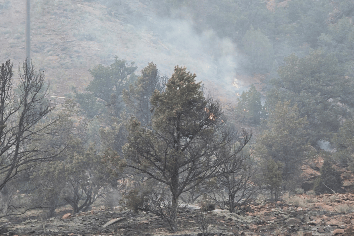
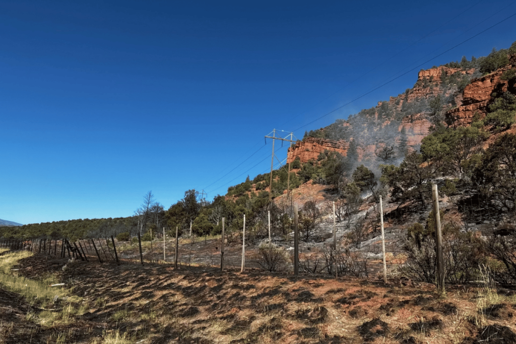
Those conditions already contributed to a small blaze earlier this week. The Red Canyon fire near Wolcott closed Interstate 70 in both directions on Wednesday evening. After spreading to roughly 8 acres, firefighters contained the blaze with aircraft and crews working on the ground.
While Colorado’s Front Range is also set to experience near-record high temperatures over the weekend, it’s at lower fire risk due to recent spring moisture, said Russell Danielson, a meteorologist at the National Weather Service in Boulder.
“The grass is green. The trees are green. Any fire that were to start wouldn’t be able to burn up that vegetation,” Danielson said.
While a wet spring will help prevent fires in the short term, it’s also supercharging plant growth along the Front Range, packing the region’s grasslands with more potential fire fuel. Scientists warn the pattern could lead to greater fire risk if the weather dries out during the upcoming fall and winter.
Colorado's annual wildfire outlook, released in April, predicts a “normal” fire season with roughly 6,000 fires statewide. As temperatures climb in the early summer, the state expects fire risk will climb in southwest Colorado and the San Luis Valley. Monsoon rains should bring fire conditions closer to normal by July.