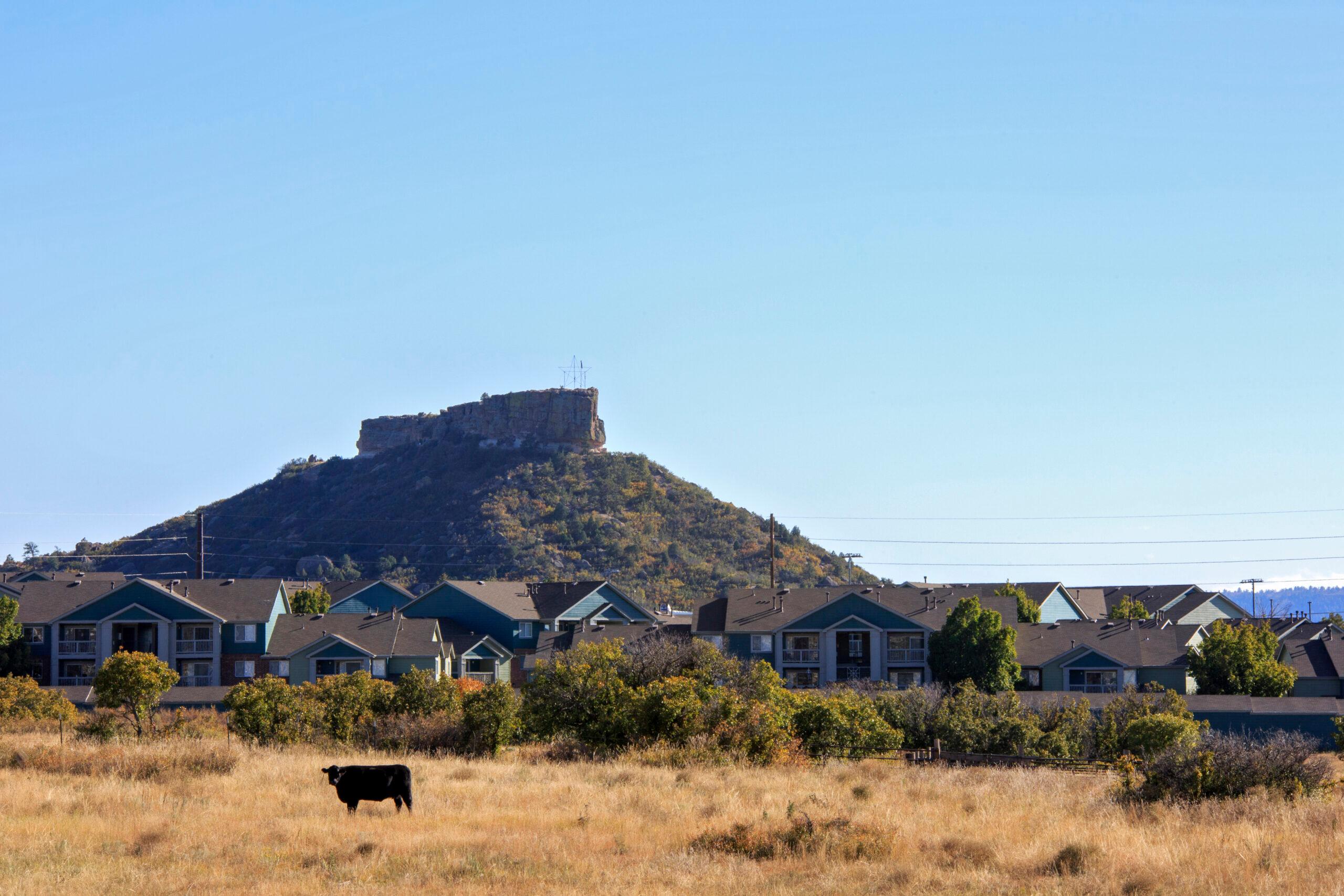
Between 2,800 and 3,000 people are rescued annually from Colorado trails. Most call for help from mountains that are easily accessible from the I-70 corridor surrounding Denver and Boulder. Many of them are visiting.
“We are almost at a hundred calls so far this year, which, if we continue on this trajectory, will put us at our busiest year ever,” said Ben Butler of the Summit County Rescue Group, one of 50 volunteer teams organized by the Colorado Search and Rescue Association (C-SAR). “Our busiest [so far] was 2021, where we did almost 210 calls. If things continue, I could see eclipsing that number.”
Those life-saving services are free of charge.
“Colorado feels very strongly that backcountry search and rescue services should be free,” said C-SAR spokesperson Anna DeBattiste. “We know from experience that people who think they're going to get charged delay calling. And when they delay calling, that can make everything more dangerous for them and for the rescuers.”
Lower leg injuries, getting lost and being unprepared for either the weather or a trail’s elevation gain are the most common reasons crews are activated.
“It used to be around 50/50 searches and rescues. Now it's more like 60 percent rescues and 40 percent searches,” said Alpine Rescue Team mission coordinator Steve Wilson.
With access to maps and trail apps on cellphones, people aren’t losing their way as frequently as they were prior to advances in technology. “The reason people get lost now is just unfamiliarity with the area. So that tends to be more non-Colorado residents, people from out of the state,” Wilson said.
That’s what happened to two hikers from New York who had become lost on the technical Kelso Ridge route on Torrey’s Peak on June 12. After they called 911, a member of the Alpine Rescue Team was able to direct them toward a safer descent route over the phone. But during that descent, lightning hit them. The hiker who called for help told the mission coordinator his companion was momentarily unconscious and “foaming at the mouth.” Both hikers were later taken to local hospitals after what’s believed to be one of the highest helicopter hoist rescues ever performed in Colorado.
While fewer people are getting lost, call volume for individual crews has increased significantly over the last few decades. “When I joined in the late 90s, we were averaging 60 to 80 missions a year,” Wilson said. “Now it's more like 140, and last year was 172.”
Mission coordinators across the state believe the increase is due to a combination of several factors: more people both living in and visiting Colorado, social media honeypot locations that aren’t as easy to get to as they seem, bad directions from AI and online apps and the post-pandemic push to be outside. According to the state’s most recent tourism report, visitation in the Rockies Playground region, encompassing Clear Creek, Eagle, Garfield, Gilpin, Gunnison, Lake, Park, Pitkin and Summit counties, increased by nearly 8 percent from 2019 to 2023, demonstrating the uptick of tourists in more remote locations.
“I think COVID had an impact where people realized that being outside in Colorado is pretty fun. Being in the mountains is good for the soul. Once you get that bug, you want to go back as often as you can,” Wilson said.
More people on the trails means more calls for help
Over the weekend, San Miguel County Search and Rescue responded to the Bridal Veil Trail in Telluride twice. Both calls were due to injuries. One woman hurt her ankle, the other her knee. Both were from out of state.
While C-SAR does not have a centralized database to keep track of how many of their search and rescue calls are for locals versus tourists, mission coordinators told CPR News that people who don’t live here are more likely to need help than those who do.
“People from here are just innately more familiar with the environment of Colorado, whereas a tourist isn't really going to be. They're more likely to get a mission because of altitude sickness or because they're used to hiking or walking two miles a day or something, and it takes 45 minutes. They're not used to having two miles take four hours because it's steeper. It's up a rugged trail at 13 or 14,000 feet. They’re not used to the changes in weather,” Wilson said.
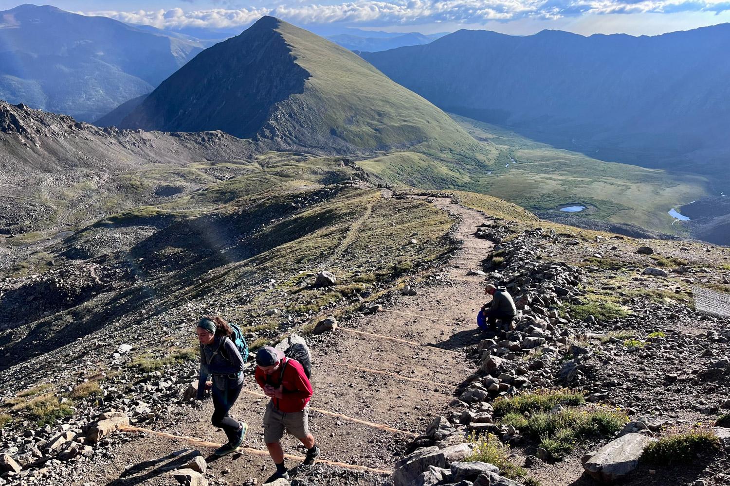
The Alpine Rescue Team is one of the most called crews in the state on average, largely because their jurisdiction covers three counties with several popular fourteeners, including Torreys Peak, Grays Peak and Mt. Bierstadt. In 2023, an estimated 55,000 people hiked the three mountains combined.
“Our four fourteeners are easy to access for the tourists and the citizens in the Denver metro area,” said Wilson. “From Denver, you can be up on Mount Blue Sky at Echo Lake or Summit Lake in an hour to an hour and a half. You can't do that with the Maroon Bells or the San Juans or even some of the places around Breckenridge and Summit County. It takes you a couple more hours to get there.”
Outside of trails with proximity to major cities, mission coordinators and spokespeople with “beginner 14ers” or easier trails in their jurisdictions typically field the most calls. That includes Boulder, Summit and El Paso Counties.
Places like Quandary Peak and the Manitou Incline are also common locations for missions. “There are a lot of folks who are out venturing, but also our public messaging has really helped,” Butler said. “Folks call when they need help. I think through that public education piece, more people are aware of our services and have requested them.”
The state’s highest peak, Mt. Elbert, draws a lot of beginners because the trail to the top is shorter than most 14ers at seven miles. “You might be a little daunted by a 15-mile hike,” Lake County Search and Rescue spokesperson Katy Aigner said. “But when you see something that's under 10, it does look really attractive and seems doable, but obviously (tourists) are not used to the elevation and just the true nature of being up that high and what it does to you.”
Tools like ChatGPT and Google AI may be helpful for structuring an itinerary, but C-SAR warns against relying on the technology for trail difficulty ratings or conditions.
“Online resources are great for planning your backcountry adventure, but you do have to be careful,” said DeBattiste. “Google Maps is not a trail app. There have been some cases recently where people are using ChatGPT to get trail conditions, and you may not get the most local information that way. Does this trail usually have snow in May? Maybe not, but what about this particular day in May in this particular year?”
She recommends getting advice instead from local hiking group forums.
DeBattiste also reminds those planning an outdoor adventure that accidents can happen to anyone. “I think there's a misperception among the general public that people who get rescued are either backcountry newbies who are doing something foolish, or they’re extremists, winter mountaineering or base jumping or paragliding or whatever. But actually, our largest demographic is hikers on local trails — and many of them just had a mishap that couldn't be foreseen, like a twisted ankle or a blown-out knee.”
Remember the three Ts: Trip Planning, Training and the Ten Essentials
“Trip planning means doing your homework, figuring out the length and difficulty of your route and the weather forecast and leaving a trip plan with a responsible person back home that can call 911 if you don't come back within a reasonable time. Training means making sure you have the knowledge, the experience, the skill and the physical endurance for whatever it is that you're planning,” DeBattiste said. “And the National Park Service 10 essentials — they’re great, but don’t restrict yourself. You might need more than 10 if you need certain sports-specific gear, you might even need less than 10 if you're doing something short. So just really put some thought into it.”
10 Essentials from the National Park Service:
- Navigation - Map, compass, and GPS device to help plan your route and orient yourself.
- Sun Protection - Sunglasses, sun-protective clothing, and sunscreen to protect against UV rays.
- Insulation - Additional insulating and weather-protective layers beyond the minimum.
- Illumination - Headlamp with extra batteries for lighting.
- First Aid Kit - Supplies to address minor injuries and medical needs.
- Fire - Waterproof matches, a lighter, and tinder for staying warm, cooking, and to use as an emergency signal.
- Emergency Shelter - Such as a bothy bag, bivy sack, or emergency blanket to protect against the elements.
- Nutrition - Additional non-perishable food beyond the minimum expected for the trip.
- Hydration - More water than the minimum needed and the means to purify additional water.
- Communications - A cell phone, or even better, a two-way satellite communicator, so you can communicate with rescuers when cell service does not exist.