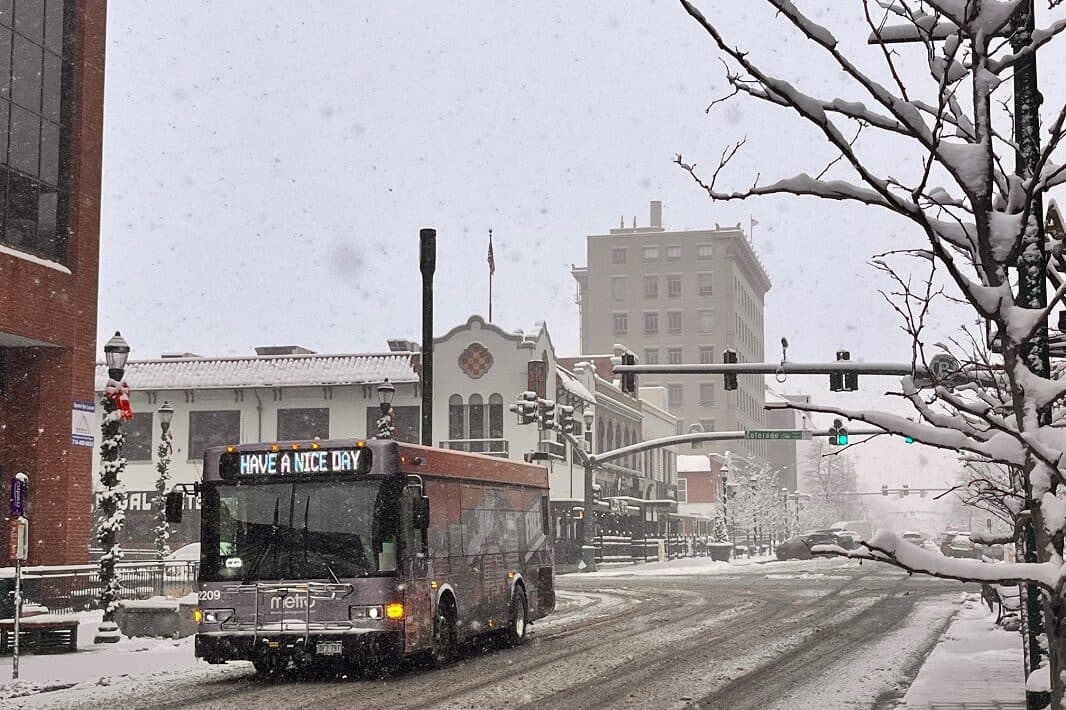
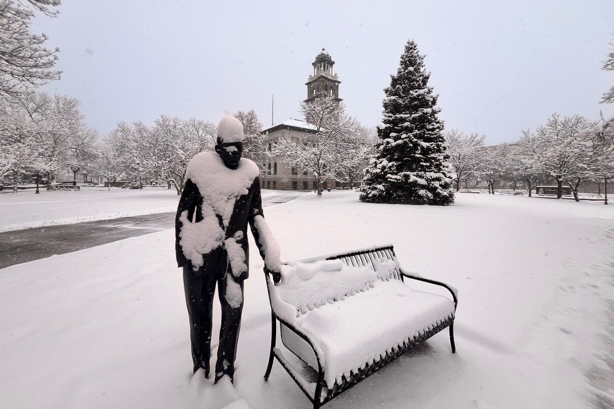
A huge winter front blanketed all of southeastern Colorado on Wednesday and broke records in the region's two big cities. Pueblo saw 5.8 inches of snowfall, nearly doubling the previous record for Dec. 3 of 3.2 inches in 2005. That snow also had a high moisture content, doubling the day's previous liquid equivalent measurement record of .19 inches from 2005 to 0.48 inches.
In Colorado Springs, the recent storm just barely beat an over 120-year record for Dec. 3. The record for the liquid equivalent on Dec. 3 was .32 inches, set in 1913. On Wednesday, that record was beaten by a measurement of 0.34 inches of liquid equivalent.
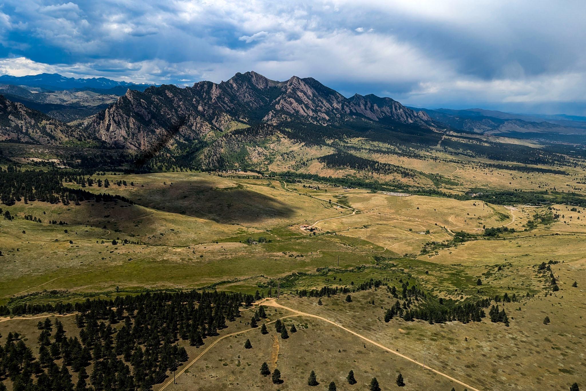
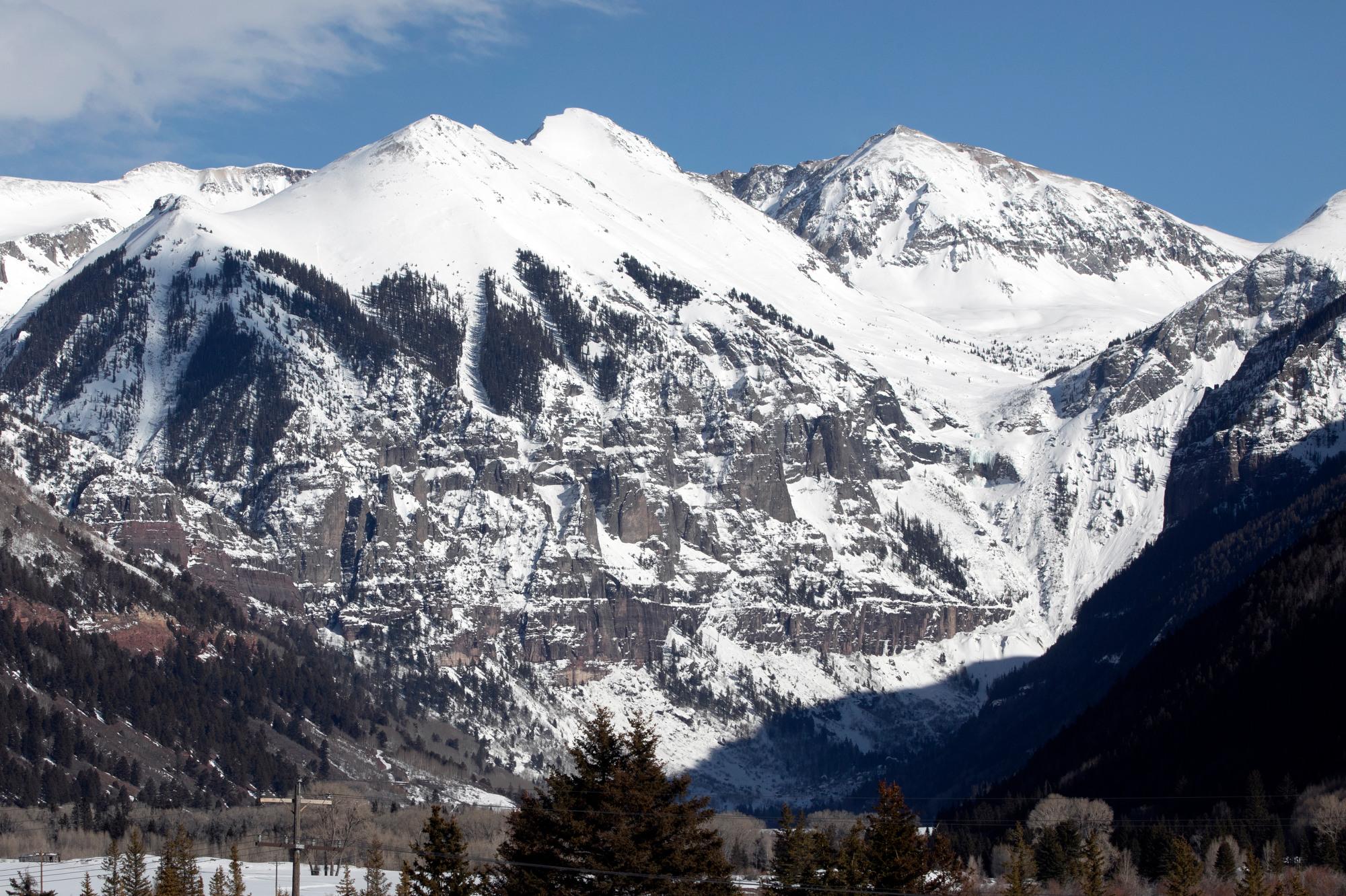
The heaviest snowfall, according to the National Weather Service in Pueblo, landed in the Sangre De Cristo Mountain range, where some areas got over a foot of snow. The Cheyenne Mountain area accumulated up to 10 inches of snow as well.
Eric Petersen, a meteorologist with the NWS in Pueblo, said this record-breaking snowfall was needed throughout the region.
“This will definitely help snowpack numbers over a big chunk of the Sangres and then go farther west, even toward the San Juan mountains,” Petersen said. “A foot of snow does a lot of good up there in the mountains this time of year, so we're happy to see that.”
As temperatures are expected to slowly rise over the next seven days, Petersen said snow will slowly disappear in lower elevations, with most melting away by early next week. However, he said higher elevations will likely hold onto most of the snow for the foreseeable future.
So far, the Southern Colorado region is well below the average snowpack for this time of year. Overall, forecasters expect a drier, warmer winter due to a predicted weak La Niña pattern, Petersen said.
“It tends to favor a little bit less snow, a little bit warmer temperatures in Southern Colorado. As we go through the winter now, it's a weak signal,” he said. “So there are other factors that can overcome that. So it's not a guarantee."
Petersen said the recent snowfall will help ski resorts this winter and rivers in the summer.
“We're always trying to keep an eye on the snowpack to aid in the hydrologic forecast for the upcoming runoff season. So this is going to help,” Petersen said. “We still have a ways to go to get back to around average, but this certainly will move us in the right direction.”