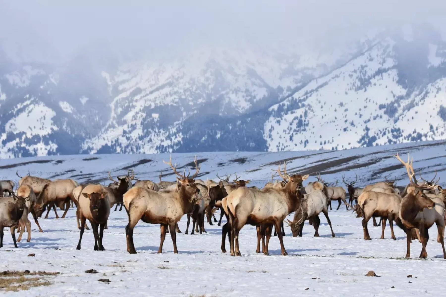
It likely comes as no surprise, but the data confirm: It was one of the warmest-ever years in Colorado. The state saw the fourth-warmest fall ever recorded, and through November, it’s been the 9th warmest year overall, in 131 years of recorded weather data.
December is almost certainly going to rank high; it’s already broken previous records with highs in the 60s. December 11 set record highs statewide, when temperatures on the Eastern Plains reached the 70s, and Campo — near the Oklahoma border — hit 81 degrees Fahrenheit.
The first measurable snow of the season in Denver was November 29, the 2nd latest on record going back to 1882, and it was only a few inches.
“By the end of December, we would typically be at just over 20 inches of snow. So it's been way too dry,” and warm, said Denver7's chief meteorologist, Lisa Hidalgo.
It was 83 degrees in the city on November 11, breaking the all-time record high for the entire month, which was set in 1931.
"Eight out of the 10 warmest years we've had in Colorado have been since 2012,” said State Climatologist Russ Schumacher, noting that climate change is driving consistent warming trends in the state.
Hidalgo echoed that sentiment. “I think what's scary is that you look at some of the warmest years we've ever had on record, and they're within the last decade or two.”
Climate flip flop
Several cities also saw high temperatures over the summer, with the hottest day of the year on August 7, when it was 109 Fahrenheit in both Las Animas and Lamar.
“This year has not been quite as extreme, but when you look in the full context of the 131 years of data that we have, it's still much warmer than normal,” said Kaitlyn Trudeau, senior research associate at the nonprofit science organization Climate Central.
Trudeau said those 100-degree-plus days are part of a larger trend due to climate change. “When you zoom out and look at the whole trend of all these years of data, what we're seeing is an increase in these really warm, abnormally warm years. And with that comes all kinds of impacts.”
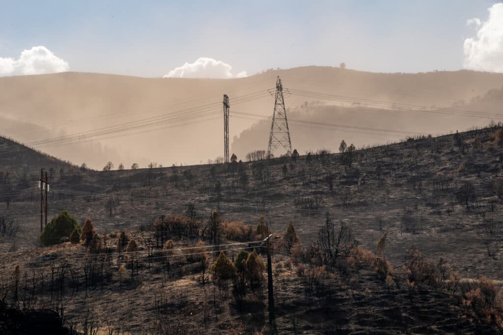
Those impacts include increased fire risk due to hot, dry weather and drought drying out kindling, like Colorado saw this summer on the Western Slope.
Colorado was not alone in its warming trend; nearly every major river basin in the West experienced a November among the top five warmest on record.
The coldest day was January 21, when a number of stations logged -30 degrees. Sargents, in Saguache County, had four days with lows of -30 or lower in January, bottoming out at -38 on the 19th.
There were a number of 90-degree or above weather streaks. Notably, a stretch of 41 days in Grand Junction from July to August. Pueblo was the next hottest with an 11-day streak in the same period, while Denver’s max heat wave lasted 6 days of 90-degree-plus weather in August.
Extreme precipitation or drought
Precipitation was spotty and split across the state, with an ongoing drought across the west, and some record-high rainfall on the eastern side. That trend continued throughout the year, with the east staying wetter overall while drought deepened on the Western Slope and stretched into neighboring states throughout the summer.
The wettest day in Denver was August 10, when the city saw nearly 1.5 inches of rain in a single day. The year in precipitation, known as the “water year” by researchers, was overall hot and dry. The highest 1-day precipitation observation statewide was over five inches at Walsh on August 30.
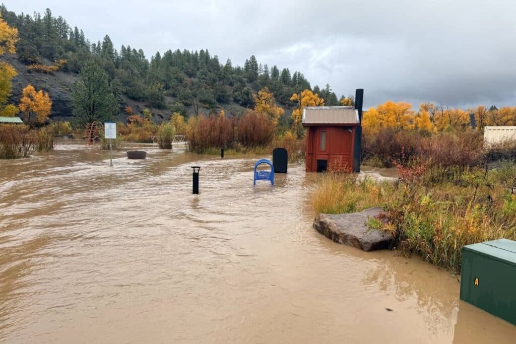
There was also extreme rainfall across southwestern Colorado in October, when many areas got between 1-4 inches of rain, causing widespread flooding. A station near Wolf Creek Pass recorded over 10 inches of rain that week during a series of storms.
While the total precipitation across the West wasn’t dramatically low, much warmer than normal temperatures caused it to fall as rain instead of snow in many basins, leading to a snow drought, concentrated in the neighboring states of California, Oregon and Nevada.
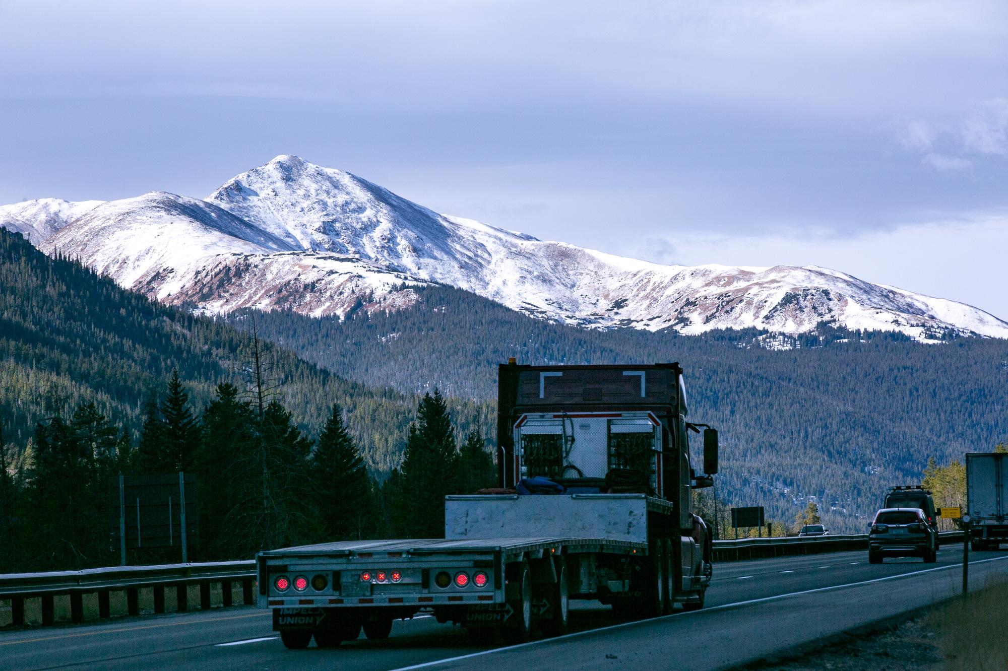
Snowfall has been late and low so far, with snowpack statewide at the end of December being just 59 percent of the average amount for this time of year. That’s part of a bigger trend across the West — in mid-December it was the lowest recorded since 2001, according to the National Integrated Drought Information System.
“As we get into mid and late winter, we're typically between about 90 and a hundred percent of normal when it comes to our snowfall. So that is a pretty low number,” said Hidalgo.
And if snowpack remains low all winter, that could mean low snowmelt in early 2026, which has ripple-down impacts on the entire Colorado River Basin and means less water for everyone.
It’s just the beginning of winter, so time will tell. “We don't know yet how it's all going to end up, but at this point it's been a very slow start to the snow accumulation season, and now we're getting all this warmth as well, which doesn't help the situation,” Schumacher said.