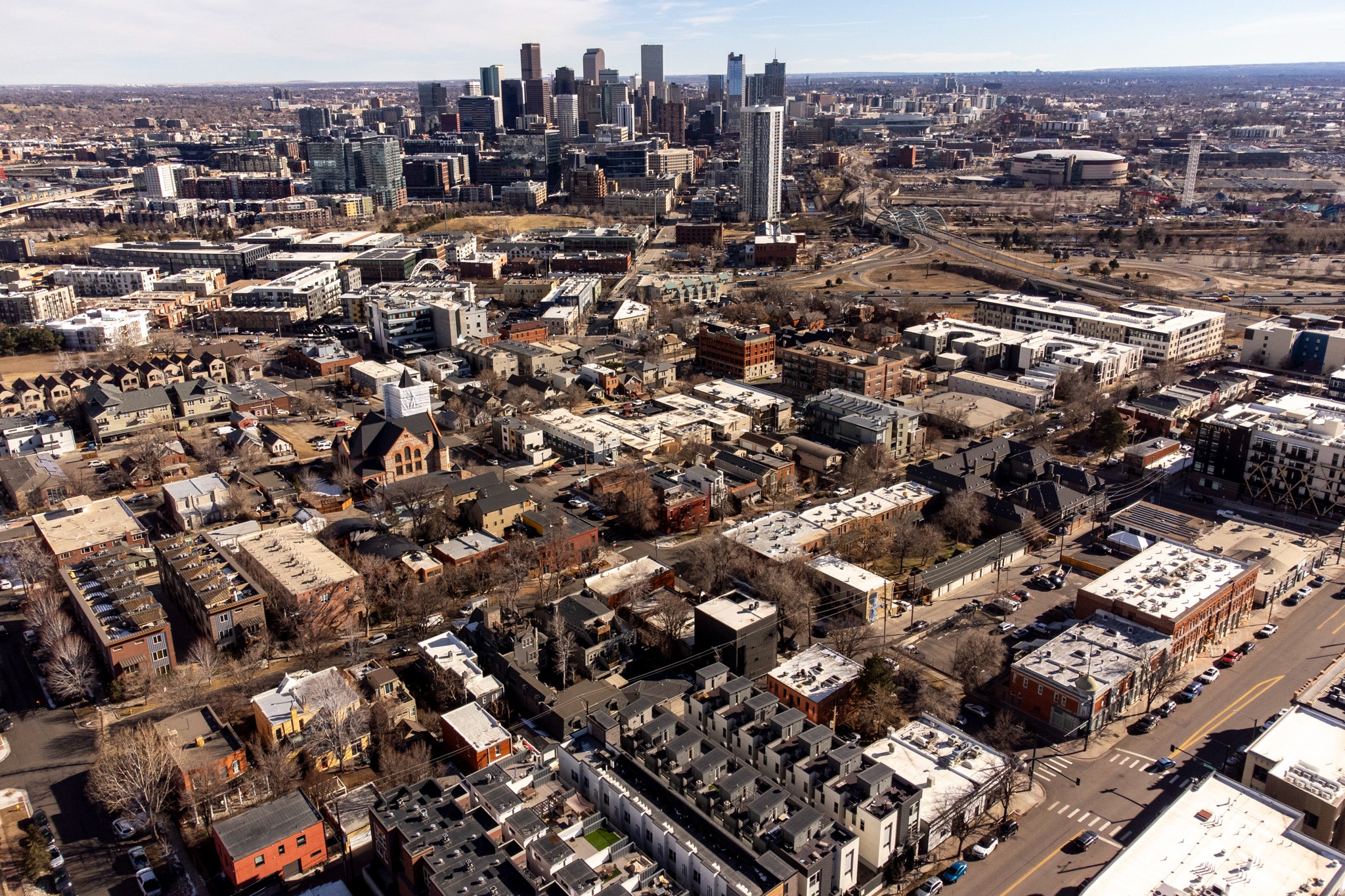
Metro Denver has been unseasonably warm throughout this month, and Monday saw another record when the mercury rose to 71 degrees at midday in the city. Boulder County also felt the heat early.
As of 10:52 a.m., 72 degrees was recorded at Boulder Municipal Airport. Vance Brand Airport in Longmont recorded 71 degrees around the same time.
The National Weather Service Office in Boulder forecast put the high at 73 degrees for today. The previous record high for Dec. 22 is 70, set in 1955. And the region could continue to break record high temperatures as we go through the holidays.
“We've got some west winds kind of downsloping off of the mountains. Whenever we have that, we tend to have warmer temperatures as well, as that warm air comes down the mountain and compresses,” NWS Meteorologist Bruno Rodriguez said. “So both of those things are helping to push temperatures well above average.”
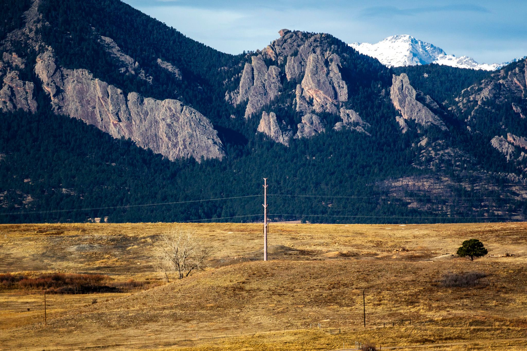
Additionally, due to continued winds and low relative humidity, NWS Boulder has issued a Red Flag Warning for the Front Range until 5 p.m., especially from the Boulder County foothills south into South Park and the Palmer Divide.
“The temperatures and humidity often go hand in hand, and we're seeing that today. So, it's just as dry as it is warm, looking at humidity, dropping down into the low teens across the base of the foothills in areas west of I-25. So combined with those gusty winds, that's what's resulted in another critical fire weather day for those areas,” Rodriguez said.
Winds are expected to come down during the afternoon hours. Local wind gusts are expected to peak around 60 mph. Areas west of I-25 should see weaker winds from 30 to 40 mph.
Temperatures are expected to remain above average heading into the night. Nothing is expected to fall below freezing in the metro area, with mid- to upper-30s tonight. The Foothills should expect temperatures in the 40s with lingering breezy conditions.
Rodriguez said the warm weather pattern could continue into Christmas Day.
“We could see some slight warming on Christmas Day itself,” Rodriguez said. “So, we're looking at high temperatures across the urban corridor, generally in the mid- to upper 60s every day, including for Christmas Day. It's not even out of the question. We might scrape 70 degrees potentially on Christmas.”