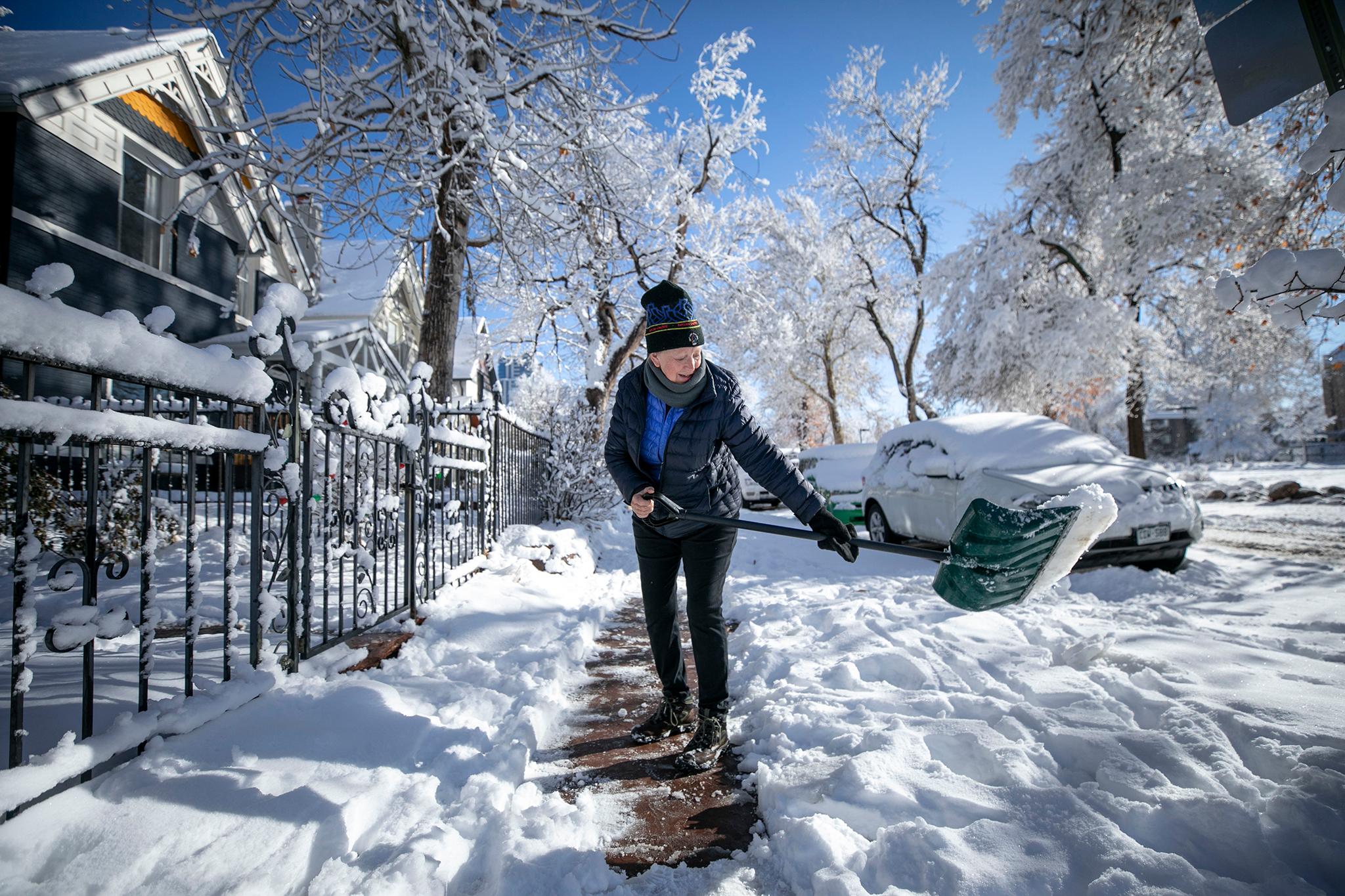
The Front Range will break the recent run of record warm weather with a smattering of snow this weekend.
The Denver metro could see 1 to 2 inches of snow starting Saturday night, according to the National Weather Service in Boulder. Temperatures will plummet after reaching a record high of 70 degrees at Denver International Airport on Christmas Day.
“We'll have a sharp cold front that comes through Saturday evening,” said Russell Daniel, a meteorologist with the National Weather Service in Boulder. “[That will] drop temperatures to the 20s, and they'll stay there on Sunday .… Sunday night could even see temperatures in the single digits.”
Snow accumulation is forecast to be moderate. But it’s better than nothing.
“It's nice to see a little bit of moisture coming our way,” Daniel said.
Plan for extra time when driving Sunday morning, with snow-covered roads, as well as blowing and drifting snow, he said.
The mountains will also see some snow during the upcoming storm. The most snow is forecast for the areas near Steamboat Springs, where the Park Range and Gore Range could get between 8 and 18 inches, according to Daniel. Along the I-70 corridor, there could be 6 to 12 inches for resorts east of the Continental Divide.
Colorado’s ski resorts are struggling to open terrain this winter due to a lack of snow. Several resorts across the state, including Beaver Creek and Telluride, delayed openings because there wasn’t enough natural snow.
Related stories
- 2025 was one of the warmest years on record for Colorado
- Keystone was the first resort to open in North America this year. Snowmakers made that possible
- Listen: Denver7’s Lisa Hidalgo on a year of weather extremes
- New study reveals rural areas in Southern Colorado have high risks for wildfires but low resources