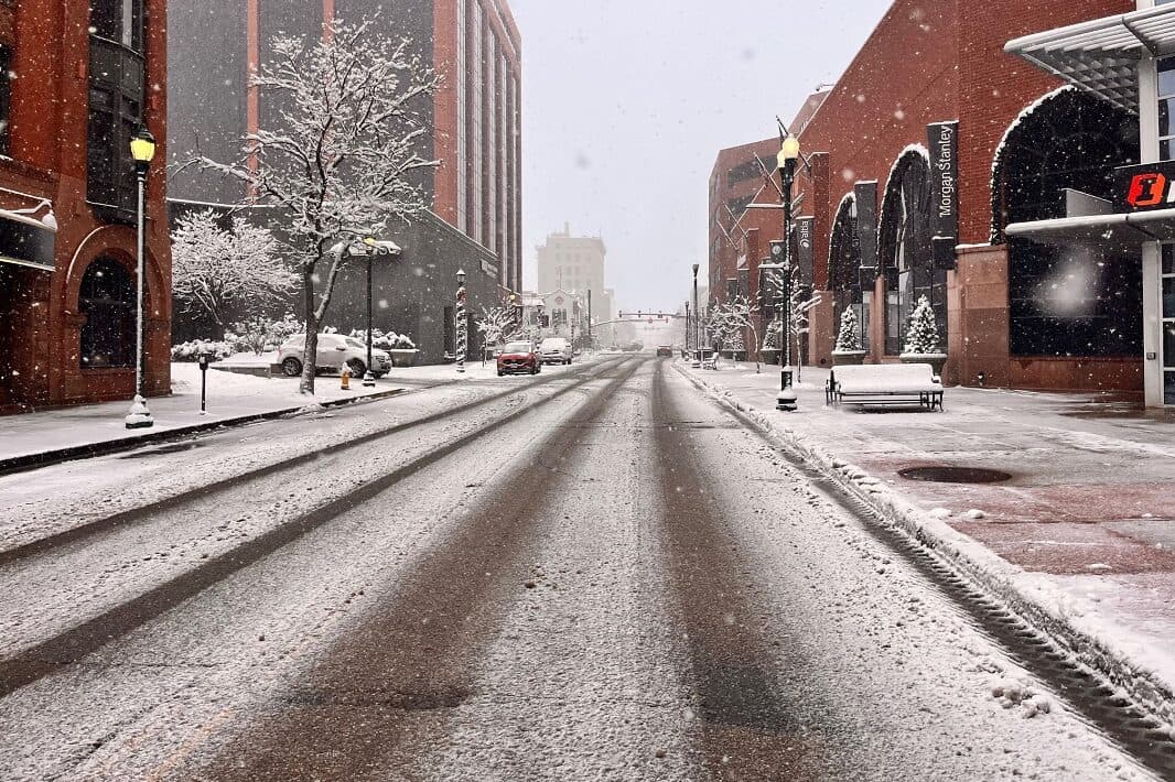
After weeks of dry weather and near-record warmth, a winter storm is finally moving into Colorado.
Forecasters say most of the state will see measurable snow between tonight and early Friday, though exactly how much depends on your location.
“There is a lot of uncertainty with it,” said Boulder National Weather Service meteorologist David Barjenbruch. “It could be a mix of rain and snow to start, and then it does get colder and changes to all snow as we head through Thursday.”
Flakes will begin falling in the foothills near metro Denver late tonight. The biggest impact is expected Thursday around rush hour, with the storm lingering into the Friday morning commute. Temperatures will likely drop enough for snow to stick on roads.
“There is potential that we start to get some accumulation Thursday evening, especially in the foothills west of Denver, along I-70 west of Golden, and across the Palmer Divide,” Barjenbruch said.
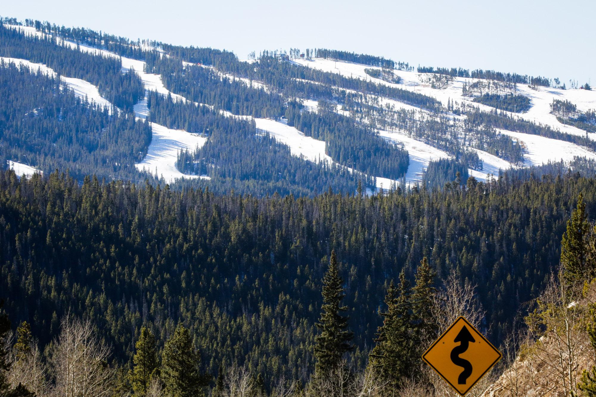
When it comes to the ski resorts, he confirmed all of them will see at least a little fresh powder, with a lucky few getting up to a foot of snow.
Snow totals vary widely by region
Forecasts remain broad, but here’s where snow is most likely to pile up:
- Metro Denver: Most likely 1 to 4 inches, though totals could end up higher or lower depending on wind direction.
- Southern Front Range and Palmer Divide (including Pikes Peak): Generally 6 to 8 inches, with heavier snow Thursday night.
- Higher elevations along the Front Range and central mountains: Some locations could see up to a foot of snow. (Good news for the ski resorts!)
- Fort Collins and Greeley: Lighter amounts overall — generally around an inch or less.
- Western Colorado valleys, including Grand Junction: Minimal snowfall, possibly an inch or less, if anything.
- Durango: About 1 to 3 inches in town, with 6 to 12 inches possible in the higher San Juan Mountains.
Colorado’s snowpack is running well below normal statewide this winter
“It’s looking pretty bleak across Colorado right now,” Barjenbruch said. “We’re used to seeing these temperature swings for a few days at a time in Colorado, but we’ve been dealing with this warm weather for almost a month straight. That’s almost unprecedented.”
The lack of snowfall this winter means the southern basins, including the San Juans and Arkansas River basin, are sitting at roughly 50 percent of normal snowpack, while the Colorado River Headwaters are averaging about 59 percent of normal. Northern basins are doing slightly better but are still below average.
“This looks like the best storm that we’re going to have for quite a while again,” Barjenbruch said, adding that dry conditions may return for at least a week after the storm exits.
After Friday, the storm will dissipate, and we’ll be left with more dry weather, with possible wind events happening Saturday and late next workweek. “It is so dry that once the snow melts away, we’re going to be right back into the same fire weather conditions if we do get those couple bouts of wind,” said Barjenbruch.
When it comes to the storm, he also emphasized flexibility and caution. “It’s been a while since we’ve driven on snow,” he said. “So if you’re driving while it’s snowing, it’s almost like the first snow of the season again.”