A warm, dry winter has left the Western United States with its worst snowpack accumulation in decades, according to federal data, which could portend a dangerous wildfire season and future water supply shortages.
The “snow drought” is driven by record-breaking warm temperatures, causing precipitation to fall as rain instead of snow, and a lack of major precipitation in January, according to data from the National Oceanic and Atmospheric Administration (NOAA).
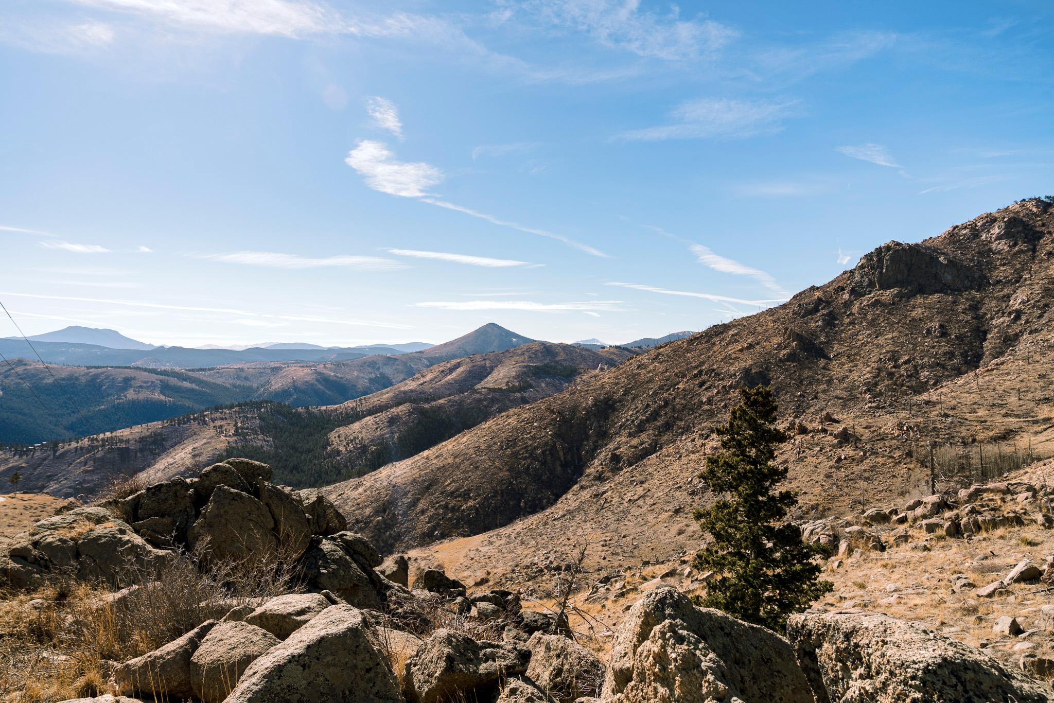
Snowcover on Feb. 1 across the West was the lowest on record for that date, according to federal satellite data which goes back to 2001. The majority of snow monitoring stations in Colorado are observing low or record-low snowpack, with records stretching back to the 1980s.
The lack of snow is already hurting Colorado ski resorts and mountain towns, which rely on winter tourism. But the hot and dry conditions may have dire downstream effects if snowpack doesn’t improve. That would require significant snowfall within the next two months, according to NOAA.
The lack of precipitation at the headwaters of the Colorado River is among the most severe in the entire basin, according to NOAA’s Colorado Basin River Forecast Center (CBRFC).
Snowmelt from the Rockies flows into the Colorado River and its tributaries. The water then flows downstream to vital reservoirs like Lake Powell, which stores water for millions of people. Water from Lake Powell is released to generate hydroelectricity, and eventually courses downstream to states like Arizona and California.
Lake Powell is currently at only about a quarter full; forecasts for how much water it’s poised to receive are dim.
The CBRFC estimates that the water supply flowing into Lake Powell will be just 38 percent of average through July. That marks a significant drop from the forecast just last month.
The dire conditions could let up — wetter-than-normal weather is expected over the next two weeks, according to the National Weather Service. Some snow is expected on the Western Slope next week, but conditions are predicted to remain mostly sunny and warm on the Front Range and Eastern Plains. But with temperatures expected to stay high, it may be hard to keep any snow from melting.
Early snowmelt means there may be less water flowing into Colorado’s lakes, streams and rivers in the spring, ahead of the hottest, driest summer months. It could also lead to extremely dry vegetation by the summer, creating fuel for wildfires.
The forecast comes as negotiations about the future of the Colorado river are in overtime. Negotiators from seven states, including Colorado, are trying to hash out a new agreement that dictates how much water flows in and out of the river’s largest reservoirs.
The increasingly pessimistic forecasts may add some urgency to the already delayed deadline.
“ All of us are watching the unseasonable weather, the lack of snow pack, and are scared for what is headed our way,” said Attorney General Phil Weiser at a water conference last week.
“We know that we are in a drought,” he added. “We know that we've got challenges ahead.”
Similar precipitation, but much, much warmer temperatures
January normally ushers in heavy snowfall across the West, especially in the Northern Rockies and Pacific Northwest. But this year, precipitation has been decidedly muted.
In most of the Colorado River Basin, precipitation was generally at only 50 percent to 75 percent of its historical, 1991-2020 average levels, according to CBRFC.
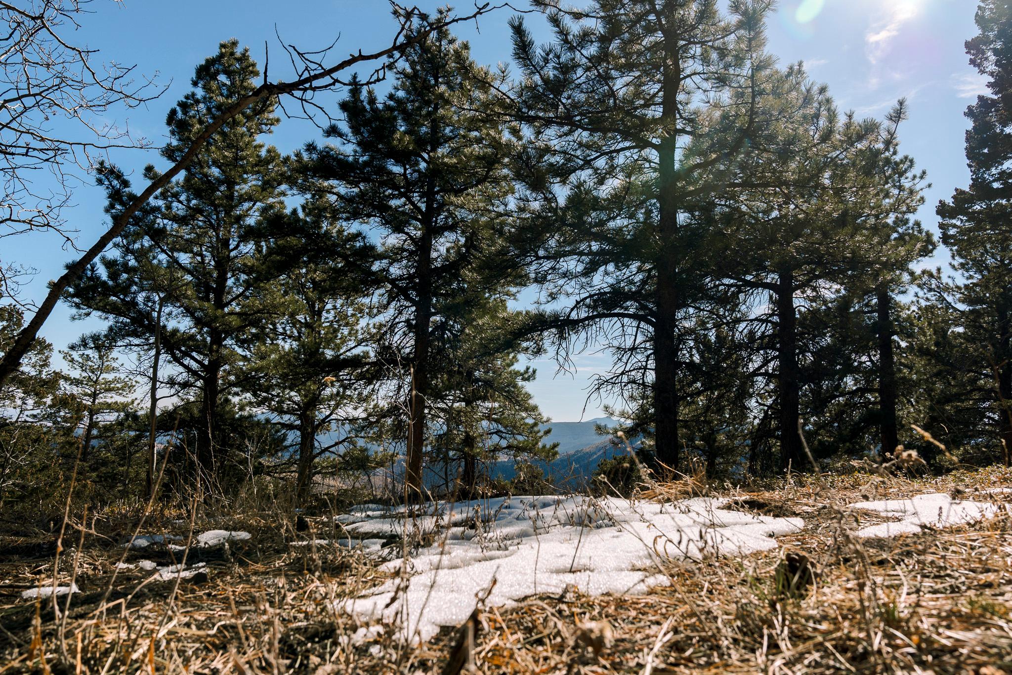
Even elevations at 10,000 feet are already experiencing snow melt, where temperatures should be cool enough to preserve snow, according to Brenda Alcorn, a CBRFC forecaster.
Warm temperatures are the main driver. Precipitation compared to last year at this time is roughly similar, Alcorn said in a briefing, but many areas have much less snowpack.
That’s because the Upper Colorado region observed record-breaking warm temperatures in December. That trend continued into January, as temperatures reached up to 9 degrees Fahrenheit above normal.
“Warm temperatures have significantly impacted the amount of snow,” Alcorn said.